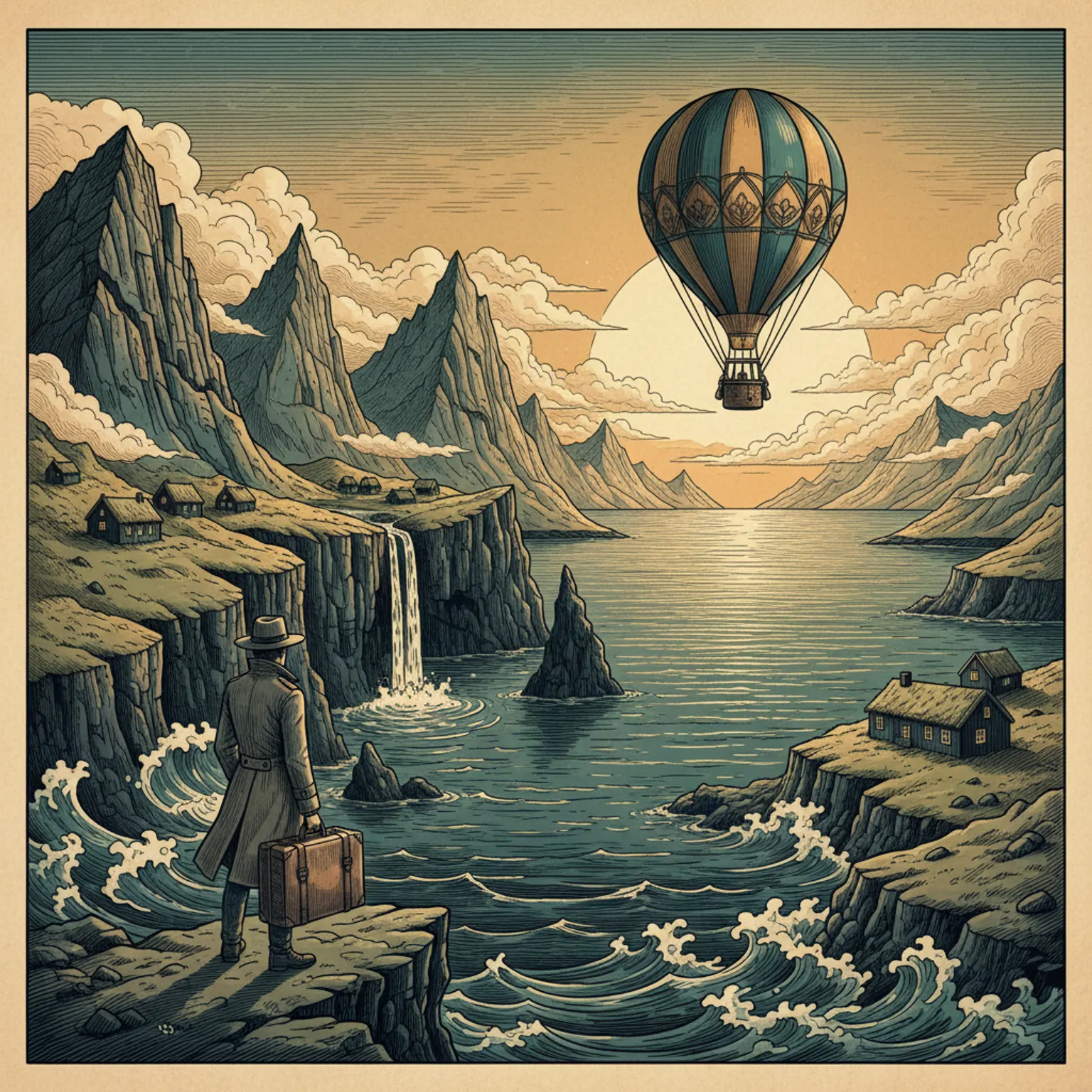
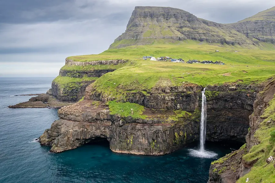
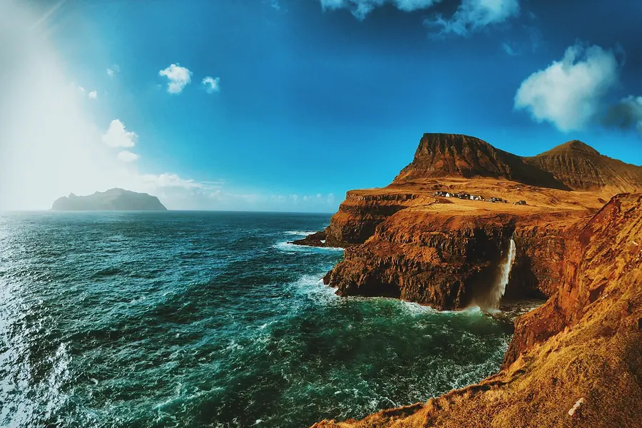
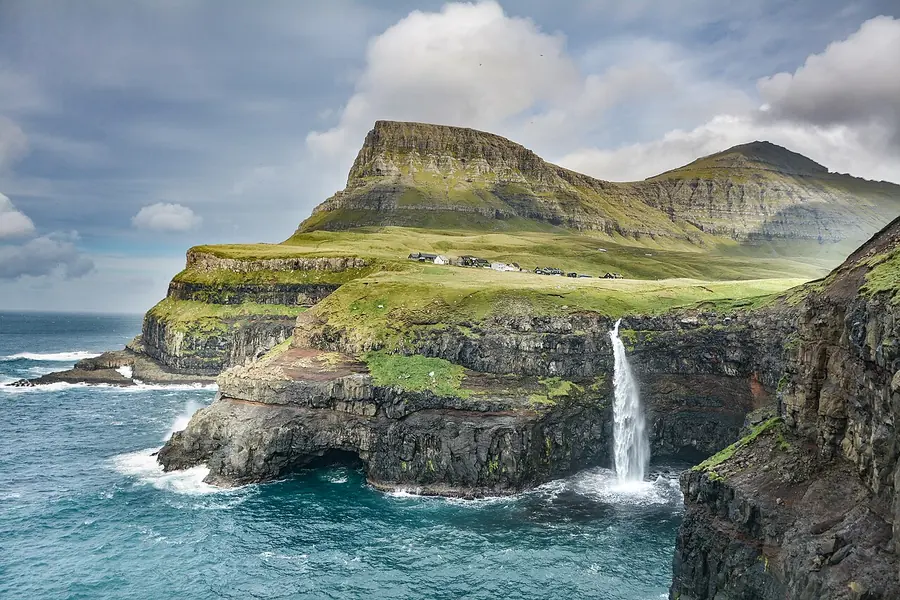
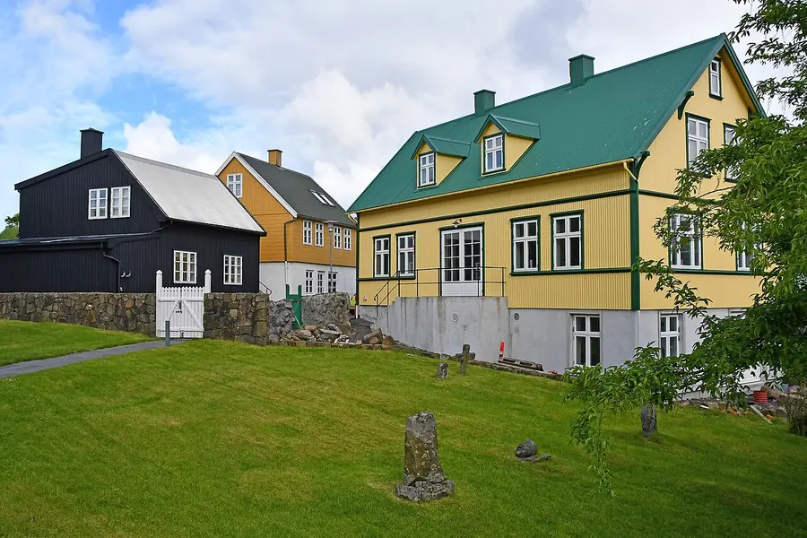
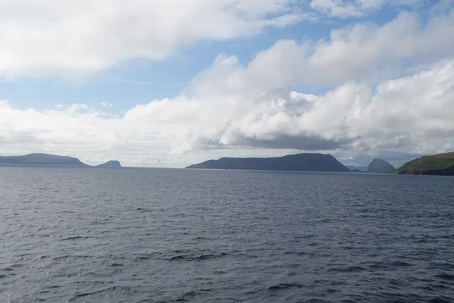
I drove through a sub-sea tunnel under the Atlantic, came out into thick fog, and nearly missed the waterfall at Gasadalur entirely. Then the wind, which never stops here, tore the cloud apart in four seconds and there it was: Mulafossur, a river simply falling off a green cliff into the sea, a tiny turf-roofed village behind it. I stood there alone, soaked, slightly terrified of the edge, and a sheep watched me from a ledge no sheep should be able to stand on. The Faroes do not perform for you. They just exist, absurdly beautiful, and let the weather decide if you see it. Rent a car.
Two days hits the icons closest to the airport on Vagar. The Mulafossur waterfall at Gasadalur, the cliff-top "floating lake" of Sorvagsvatn, and a first taste of the capital, Torshavn. Short, but the drives between are short too.
Rent a car at the airport. Public transport here is real but a car is the only way to do this plan.
72 Hours: The Capital and Streymoy
Three days adds Torshavn properly, the turf-roofed old town of Tinganes, and the dramatic north of Streymoy: the village of Saksun in its hidden bay and the cliffs at Vestmanna. This is the islands' heartland.
4 Days: Eysturoy and the Far Villages
Four days reaches Eysturoy, the second-biggest island, with the perfect sea-gorge harbour at Gjogv, the giant sea stacks of Risin and Kellingin, and the Slaettaratindur, the islands' highest peak. Remote, raw, glorious.
7 Days: All Eighteen, Almost
A week lets you reach the outer islands: a ferry or helicopter to Mykines for the puffins, the southern island of Suduroy, and the tiny dramatic isles of Kalsoy and the lighthouse hike to Kallur. Plus weather days, which you will need, because the weather here makes the plans.
Estimated budget:$480-$780
Estimated budget:$700-$1150
Estimated budget:$920-$1550
Estimated budget:$1700-$3000
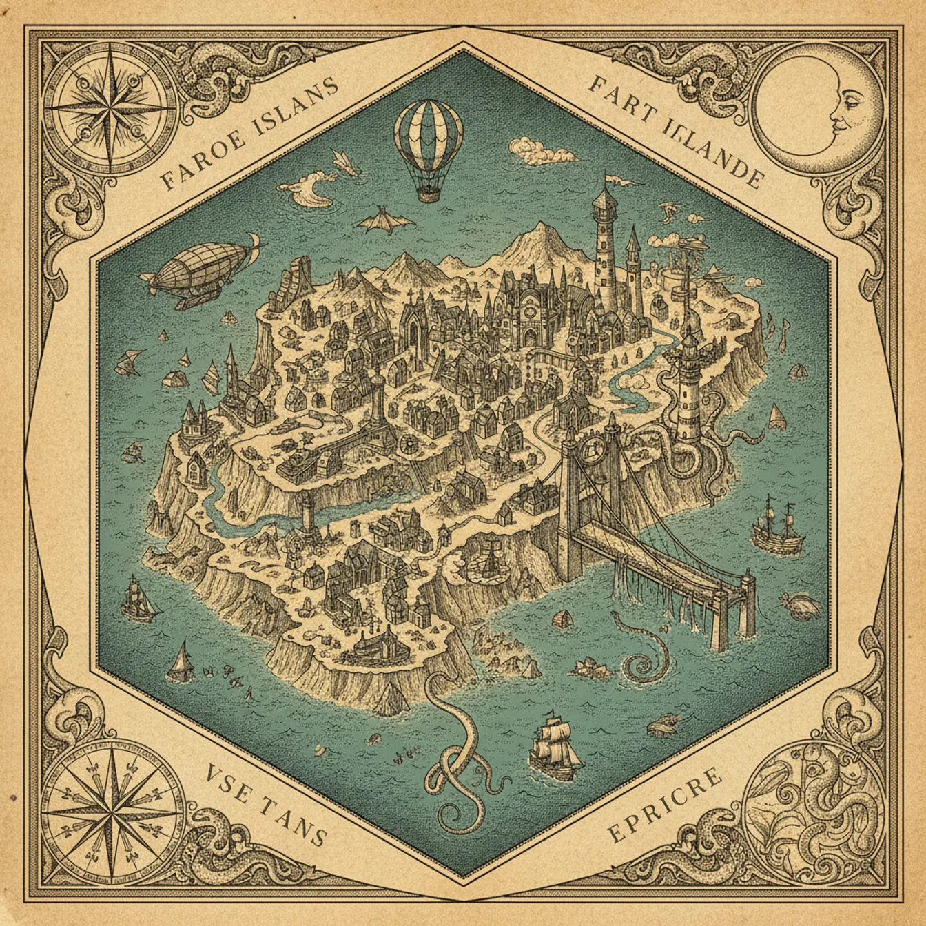
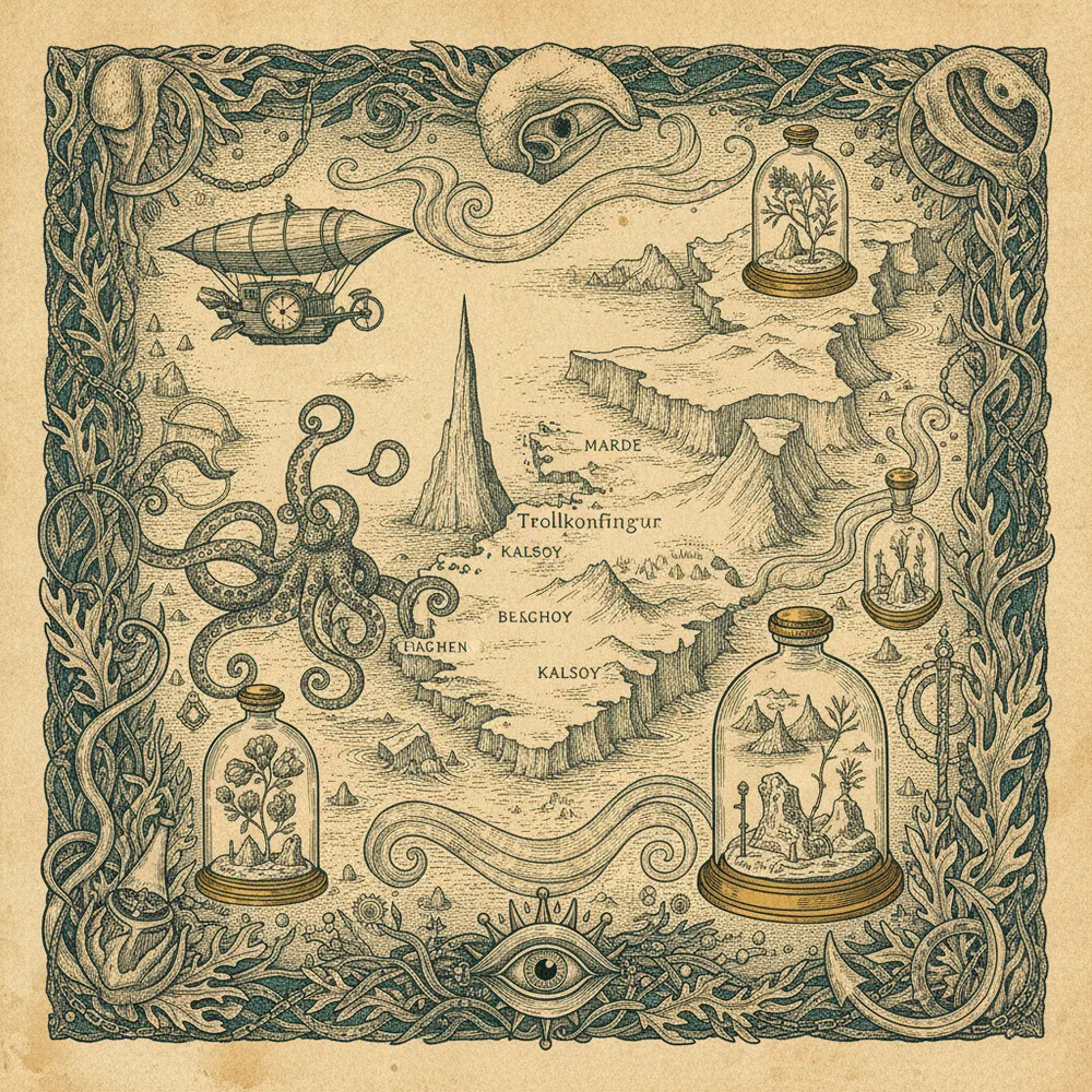
[ THE DISPATCH · FIELD MAP ]
A tilted, hand-drawn dispatch of Faroe Islands. Click a quarter to explode it open.
0 / 5 quarters explored
Legend · tap to highlight
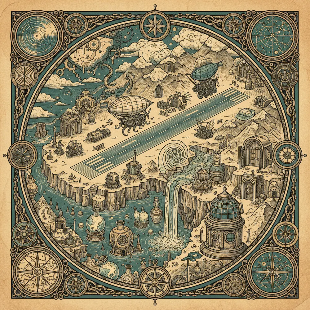
[ VAGAR (AIRPORT ISLAND) ]
Where the city meets the water.
Mulafossur waterfall, GasadalurA river falling straight off a cliff into the ocean, with a turf village behind it.
Sorvagsvatn (Leitisvatn), the floating lakA lake that looks like it hovers hundreds of feet above the sea, from the right angle.
[ TORSHAVN & TINGANES ]
Grand squares and big ideas.
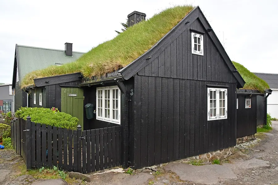
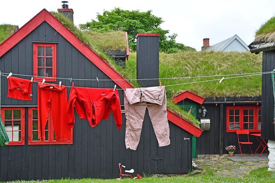
Tinganes old townRed turf-roofed government houses on a rocky harbour spit, since the Viking age.
Torshavn harbour and VaglidCafes, the cathedral, and the colourful working port of a 13,000-person capital.
[ NORTHERN STREYMOY ]
Boats, bridges and reflections.
Saksun village and the tidal lagoonA handful of turf-roofed houses around a hidden bay that drains to sand at low tide.
Vestmanna sea cliffs boat tourA boat into towering bird cliffs, sea caves, and grottoes on the west coast.
[ EYSTUROY & THE HIGH PEAKS ]
Green breathing room.
Gjogv and its sea gorgeA village named after the natural rock harbour gorge that cuts into the coast.
Slaettaratindur viewpointThe highest peak in the Faroes, with a saddle hike for the very fit.
[ MYKINES & NORTHERN ISLES ]
Boats, bridges and reflections.
Ferry to MykinesA rolling crossing to the westernmost island, kingdom of the puffins.
Mykineshólmur lighthouse hikeA clifftop trail past puffin burrows to a lighthouse on a sea-stack islet.
Day 1
Vagar: Mulafossur and the Floating Lake
The postcard waterfalls right by the airport
Mulafossur waterfall, Gasadalur
A river falling straight off a cliff into the ocean, with a turf village behind it.
Mulafossur is the Faroes' most famous image, a waterfall that drops off a green sea cliff directly into the Atlantic beside the tiny village of Gasadalur. Until a sub-sea tunnel opened in 2004 the village was reachable only by a mountain hike or helicopter. Park at the marked lot and walk five minutes to the viewpoint. The wind is fierce; mind the unfenced edges.
A lake that looks like it hovers hundreds of feet above the sea, from the right angle.
Sorvagsvatn is the islands' largest lake, perched on a clifftop so that from one famous angle it appears to float high above the ocean, an optical illusion that has launched a thousand photos. The hike out to the Trælanípa cliff and the Bosdalafossur waterfall takes about 90 minutes each way over boggy ground. There is a small landowner fee. Wear waterproof boots.
Dinner in Sorvagur or Miovagur
Simple, hearty island food near the airport after a big first day.
Vagar is small, so dinner the first night is usually in Sorvagur or Miovagur near the airport. Fiskastykkid and the village cafes serve honest Faroese cooking, lamb, fish soup, and the local catch. Do not expect a big restaurant scene out here; expect fresh, simple, and filling. Stock up on groceries too, as shops keep short hours and close on Sundays.
Day 2
Torshavn: The World's Smallest Capital
Turf roofs, harbour, and the old town
Tinganes old town
Red turf-roofed government houses on a rocky harbour spit, since the Viking age.
Tinganes is the historic heart of Torshavn, a rocky peninsula of black-tarred, red-painted timber houses with grass roofs, home to one of the oldest parliamentary meeting sites in the world, dating to around 900 AD. Wander the narrow lanes, peek at the government offices that still operate from these tiny buildings, and feel how compact and human the Faroese capital is.
Cafes, the cathedral, and the colourful working port of a 13,000-person capital.
Around the old town spreads the rest of Torshavn, with a snug harbour, the small Havnar Kirkja cathedral, the Vaglid square, and a clutch of good cafes and design shops. Have lunch at a harbourside spot, browse the Faroese wool sweaters at Gudrun & Gudrun, and grab a coffee at Paname or Brell. It is the only real town, so use it to restock and recharge.
Dinner: Katrina Christiansen or ROKS
Faroese new-Nordic cooking, from the famous KOKS lineage.
Torshavn punches far above its weight for food, thanks largely to the two-Michelin-star KOKS putting the islands on the map. For a more accessible taste, Katrina Christiansen and ROKS serve modern Faroese dishes, fermented lamb, langoustine, and seaweed, in lovely harbour settings. Book well ahead. If your budget stretches and KOKS is open, it is a genuine destination meal.
Day 3
Northern Streymoy: Saksun and Vestmanna
Hidden bays and seabird cliffs
Saksun village and the tidal lagoon
A handful of turf-roofed houses around a hidden bay that drains to sand at low tide.
Saksun is the most photographed village on Streymoy, a scatter of turf-roofed farmhouses and a tiny church set above a tidal lagoon ringed by mountains. At low tide you can walk out across the black sand toward the sea. The drive in along a single-track valley road is half the magic. Respect the farmers' land and fences; this is a working community, not a film set.
Vestmanna sea cliffs boat tour
A boat into towering bird cliffs, sea caves, and grottoes on the west coast.
From the village of Vestmanna, boat tours run out along towering sea cliffs riddled with caves and grottoes, where puffins, guillemots, and fulmars nest in summer. The boats nose right into the rock arches when the swell allows. It is one of the best ways to grasp the sheer scale of the Faroese coast. Bring a windproof layer; it is cold and wet on the water.
Tjornuvik beach and the giants
A black-sand surf beach at the end of the road, facing two sea-stack legends.
At the very north tip of Streymoy, the village of Tjornuvik sits on a black-sand bay where local surfers brave the cold Atlantic. From the beach you can see the sea stacks of Risin and Kellingin, the Giant and the Witch of Faroese legend, off the coast of neighbouring Eysturoy. The winding road out here, hugging the coast, is spectacular in its own right.
Day 4
Eysturoy: Gjogv and the High Peaks
A sea gorge and the roof of the islands
Gjogv and its sea gorge
A village named after the natural rock harbour gorge that cuts into the coast.
Gjogv, on the northeast tip of Eysturoy, is named for the dramatic natural gorge, gjogv means gorge, that forms its harbour, a slot of sea cutting deep into the cliffs. Walk down to the gorge, follow the clifftop path for sea and stack views, and stay or lunch at the cosy village guesthouse. It is one of the prettiest and most peaceful villages in the country.
Slaettaratindur viewpoint
The highest peak in the Faroes, with a saddle hike for the very fit.
Slaettaratindur, at 880 metres, is the highest mountain in the Faroe Islands, rising between Gjogv and Funningur. Even from the mountain pass road the views are immense; strong hikers can attempt the steep, unmarked climb to the summit on a rare clear day. Most visitors simply stop at the Eidiskollur and pass viewpoints to take in the ridgelines and the sea on both sides.
Funningur and the fjord road
A tiny church village and one of the most scenic drives on Eysturoy.
Below the high peaks, the village of Funningur sits at the head of a deep fjord, its little black-and-white church one of the islands' oldest. The drive along the Funningsfjordur and back toward Eidi threads between mountains and water with a viewpoint at every bend. Take it slowly, pull over often, and let the scale of the landscape sink in before heading back to base.
Day 5
Mykines and the Puffins
A boat to the seabird island
Ferry to Mykines
A rolling crossing to the westernmost island, kingdom of the puffins.
Mykines is the westernmost and most remote of the main islands, famous for its vast puffin and gannet colonies in summer. Reach it by the small passenger ferry from Sorvagur (or helicopter), weather permitting, the crossing can be rough and cancellations are common. Sailings are limited and must be booked ahead. Build a flexible day around it, because the weather, as ever, has the final say.
A clifftop trail past puffin burrows to a lighthouse on a sea-stack islet.
From Mykines village a marked clifftop trail leads out past puffin burrows, over a footbridge across a chasm, to the Mykineshólmur lighthouse on a tiny islet. In summer the path is lined with puffins so tame they ignore you, a genuinely magical walk. A small guiding fee applies and the colony has seasonal closures to protect the birds; check current rules and tread carefully.
Day 6
Kalsoy and the Kallur Lighthouse
A tunnel-laced island and a clifftop walk
Ferry and tunnels to Kalsoy
A car ferry to a long thin island threaded by one-lane mountain tunnels.
Kalsoy is a long, narrow island reached by car ferry from Klaksvik, its villages linked by a string of dark, single-lane tunnels carved through the mountains. It is wild, sparsely peopled, and starred as a location in a recent Bond film. The ferry and tunnels are an adventure in themselves. Time the round trip carefully around the ferry schedule, which is limited.
Kallur Lighthouse hike
A short, steep walk to a tiny lighthouse on a knife-edge green ridge.
From the village of Trollanes at the end of Kalsoy, a short but steep trail climbs to the Kallur Lighthouse, set on a dramatic grassy ridge with sheer drops to the sea on both sides. The view back along the spine of the island is one of the most photographed in the Faroes. Go in clear weather only; the exposure is serious and the wind can be dangerous on the ridge.
Day 7
Klaksvik and the Northern Isles
The second town and a gentle finish
Klaksvik town and Christianskirkjan
The islands' second town, a fishing port wrapped between two bays.
Klaksvik, on Bordoy, is the Faroes' second-largest town and the hub of the northern islands, a busy fishing port set on a narrow neck of land between two bays. Visit the striking Christianskirkjan church with its suspended boat, the local Foroya Bjor brewery, and the harbour cafes. It makes a relaxed base for exploring the surrounding isles on a final, slower day.
Vidareidi and Cape Enniberg
The northernmost village, under Europe's tallest sea cliffs.
Vidareidi, on Vidoy, is the northernmost settlement in the Faroes, tucked beneath Cape Enniberg, one of the highest vertical sea cliffs in Europe at around 750 metres. The drive out is gorgeous, and from the village you can hike toward the headland for staggering views (guided for the full Enniberg route). End the week here at the literal top of the islands, with the open Atlantic ahead.
The Faroe Islands are eighteen specks of green volcanic rock dropped into the North Atlantic between Iceland and Scotland, and they feel like nowhere else on earth. Waterfalls pour off clifftops into the sea, turf-roofed villages cling to hidden bays, sub-sea tunnels burrow under the ocean to link the islands, and roughly 70,000 sheep outnumber the 54,000 people. It is raw, dramatic, and gloriously underdeveloped.
This itinerary is built around one honest truth: the weather runs the show. A clear hour here is worth more than a planned day, so you keep the plan flexible, drive yourself, and chase the breaks in the cloud. The good news is the islands are small and the tunnels make distances short, so you can pivot fast when the sky opens.
The 2/3/4/7-day versions are real choices. Two days gets the airport-island icons. Three adds the capital and northern Streymoy. Seven reaches the remote outer islands, the puffins of Mykines, and the lighthouse ridges that make this place legendary.
How to use this plan
Use the day filter to match your trip length. A rental car is essential; pick one up at Vagar airport and learn the etiquette of single-lane tunnels and roads. Book ferries to Mykines and Kalsoy ahead, carry real waterproof layers and boots, and stock groceries because shops close on Sundays. Above all, build in slack: the Faroes reward patience, and the moment the fog lifts is the moment you remember forever.
This article contains affiliate links marked with rel="sponsored". We may earn a commission at no extra cost to you.